The South 24-Parganas district administration will use a vessel tracking system developed by the Indian Space Research Organisation (Isro) to enhance the security of pilgrims, who will be attending the Gangasagar Mela beginning on January 8 next year.
The satellite-based system named Navigation with Indian Constellation (NAVIC) could provide precise timings and accurate location even in areas of weak network connectivity.
"The technology is very effective and can work in poor connectivity or poor data frequency. This will help us track vessels and vehicles flawlessly and reduce the possibility of missing the locations of the vessels," South 24-Parganas district magistrate Sumit Gupta said.
The district administration has planned to use the system to enhance the security of the pilgrims when they will be travelling on vessels to reach and return from the annual religious congregation on Gangasagar Island. The system will also be used in buses ferrying passengers to the congregation.
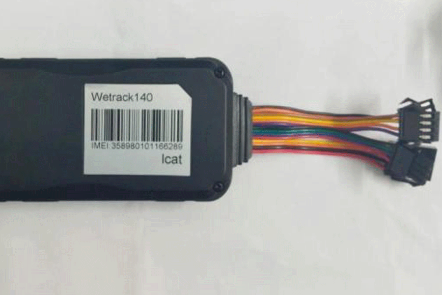
The district administration would install in the vessels a device containing the NAVIC system, which has been integrated with the sailors’ navigation app to provide specific data about the positioning of the vehicles.
The system embedded with eSIM would also contain a panic button to covey SOS messages to the mega control room, an officer of the civil defence department said.
NAVIC is an independent regional navigation satellite system developed by the Isro. It is designed to provide accurate positions and precise timings to users in India as well as the region extending up to 1,500km from its boundary, which is its primary service area.
NAVIC with seven INSAT satellites in orbit is the Indian version of the global positioning system (GPS).
Apple integrated NAVIC into its iPhone 15 while a south India-based company introduced the system as a mobile application to ensure the safety of Indian fishermen and to prevent them from straying into the sea.
The idea of using NAVIC came up during a meeting on arranging security for the pilgrims.
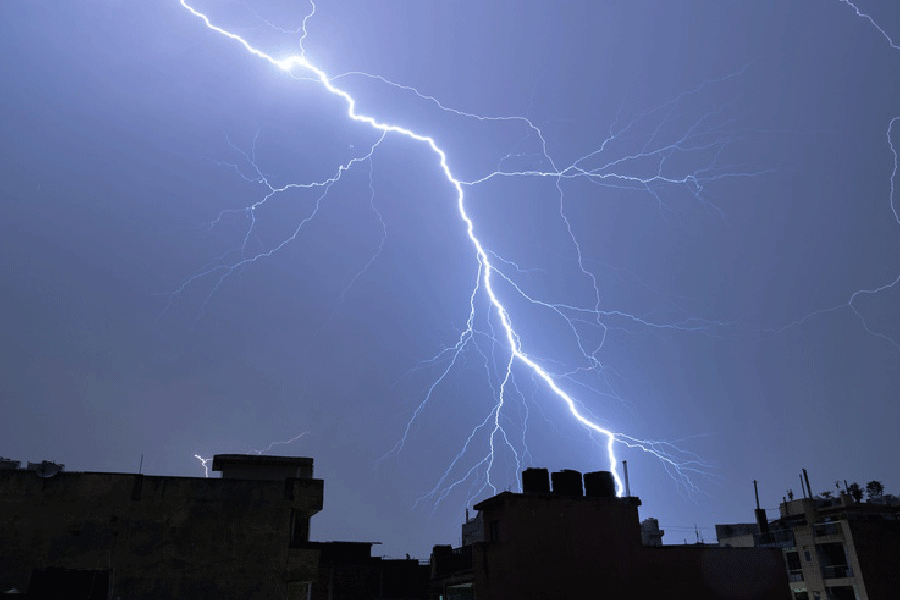
An official said ensuring security by tracking vehicles amid dense fog and in network black zones is a major problem.
In 2023, the movements of boats and vessels were suspended for about 10 hours because of heavy fog.