Clouds held sway over the city for most of Sunday and there were multiple spells of light rain throughout the day.
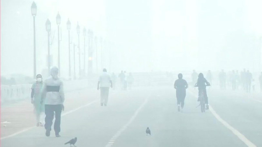
A layer of fog had enveloped the city early in the morning.
Visibility was on the lower side but flight operations were not disrupted, thanks to the Category III B instrument landing system, said airport officials.
The system allows flights to operate at a minimum visibility of 50 metres.
As the day progressed, the clouds took over. The sun had made a brief appearance early in the afternoon before going into hiding again.
The next two days are likely to be cloudy, too. The mornings are likely to be foggy as well, according to the forecast.
“Rain is likely on Monday as well. There is little chance of rain on Tuesday but the sky is tipped to remain cloudy. The sky should start clearing from Wednesday,” said a Met official.
The arrival of a western disturbance over northwestern India has led to the formation of a trough of low pressure extending from Bihar to north Odisha.
“The trough and significant moisture incursion from the Bay of Bengal are contributing to the formation of thunderclouds over Kolkata,” the Met official said.
The overcast conditions led to a fall in the day temperature. The maximum temperature was 22.6 degrees, four notches below normal.
Till Wednesday, the maximum and minimum temperatures are likely to remain around 23 and 17 degrees, said the Met official.