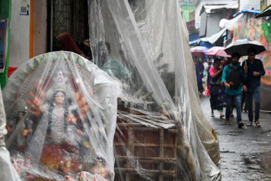
Relentless rain pounded the city between Tuesday night and Wednesday morning, flooding roads and disrupting workday life, as a low-pressure area moved into south Bengal from Jharkhand.
The weather is expected to start improving only from Friday afternoon as the system moves towards Bangladesh, said a Met official.
Almost all the districts of south Bengal were affected by the system. But the impact was much more in the north.
A flash flood, following a cloudburst in north Sikkim, triggered a surge in the Teesta that is feared to have swept away many. Four districts — Kalimpong, Darjeeling, Jalpaiguri and Cooch Behar — are reeling under a flood-like situation, the government said.
In Kolkata, the intensity of the rain peaked in the early hours. Around midnight, the rumbles of thunder sounded ominous. The rain was uniform and widespread, but some parts of the city were wetter than others.
Between 10pm and 6am, Ballygunge received 101mm of rain, showed figures shared by the Kolkata Municipal Corporation.
The Met office recorded around 50mm of rain in Alipore, which is the official count for Kolkata, between 8.30pm on Tuesday and 8.30am on Wednesday.
In Met parlance, 60mm of rain in 24 hours qualifies as heavy.
The city received intermittent showers throughout the day. But the showers lacked the intensity of the night before.
A Met official attributed the rain to a low-pressure area that had been “oscillating over the Jharkhand-Bengal border” for the past couple of days.
On Wednesday, The Telegraph reported that northwesterly winds had been preventing the system’s natural movement towards central India. The winds pushed the system further east between Tuesday night and Wednesday morning.
“Yesterday’s low-pressure area over south Jharkhand and neighbourhood now lies over western parts of Gangetic West Bengal and adjoining Jharkhand,” a Met bulletin on Wednesday evening said.
In south Bengal, Nadia, North 24-Parganas, South 24-Parganas, Birbhum and Murshidabad are expected to get heavy rain on Thursday as well, the bulletin said.
In the north, almost all the districts are expected to get heavy rain on Thursday. Alipurduar and Cooch Behar are expected to get heavy rain on Friday as well.
A low-pressure area packs more power than a cyclonic circulation but less than a depression or a cyclone.
A Met official said the system now in play was a “fairly large” one.
“We do not measure the diameter unless a system turns into a cyclone. The low-pressure area is causing rain in south Bengal, north Bengal, Sikkim, Jharkhand and parts of Odisha. Going by the area of influence, it looks like a fairly large system,” said G.K. Das, director, India Meteorological Centre, Kolkata.
The intensity of the rainfall is more in the hills than in the plains because most of the moisture-laden winds from the Bay are rising up, towards the Himalayas, Das said.
On June 28, the city had been lashed by similar, night-long incessant rain. A trough of low pressure that was south of Kolkata had climbed up, propelling strong rain-bearing clouds into the city and the rest of south Bengal.
In some seven hours, Garia and adjoining areas had received around 130mm of rain.
Many in the low-lying areas of Kolkata went to sleep with their fingers crossed on Wednesday night.