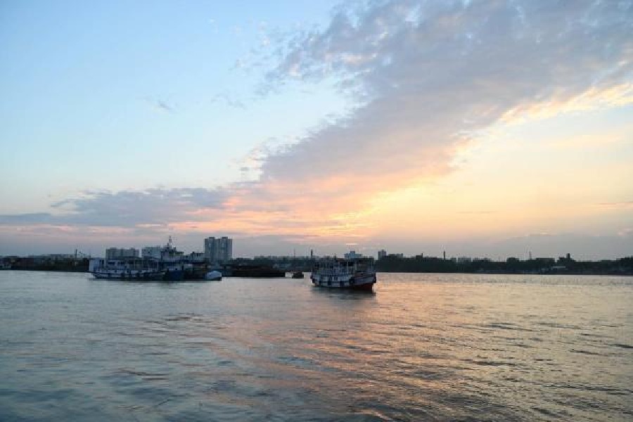
The possible path and destination of the cyclone that is likely to form over the Bay of Bengal next week will be known only after its prelude, a low-pressure area, forms over the sea around Sunday, the Met office said on Thursday.
“A cyclonic circulation is likely to develop over Southeast Bay of Bengal around 6th May. Under its influence, a low-pressure area is likely to form over the same region around 7th May. It is likely to concentrate into a depression over Southeast Bay of Bengal on 8th May. Thereafter, it is likely to intensify into a cyclonic storm while moving nearly northwards towards central Bay of Bengal,” said a bulletin issued by the Indian Meteorological Department.
“The details of its path and intensification will be provided after the formation of the low-pressure area.”
The details of the path and intensification, assessed by satellite images, would help weather scientists determine the probable time and place of the landfall.
Once the cyclone forms, it will be called Mocha, a name given by Yemen. Mocha is a port city on Yemen’s south-western coast that borders the Red Sea.
Many cyclones on the Bay of Bengal had weakened on the sea before hitting land. A Met official in Kolkata, however, said May offers the “best climatological conditions” for a cyclone to retain its strength — or keep getting stronger — till it nears land.
“The sea surface temperature is on the warmer side. A storm draws on the heat and moisture to gain strength over the sea. A strong vertical wind shear can be detrimental to a cyclone. But during this time of the year, the wind shear is unlikely to be very strong,” said Das.
“As of now, there is a good possibility that the cyclone will be strong when it nears land. If anything, it can gain strength even after becoming a cyclone.”
If the storm hits land, it can hit anywhere between Odisha and Myanmar, according to Met officials. Bengal and Bangladesh lie in between.
The West Bengal administration is gearing up for the cyclone.
Control rooms have been set up in the three coastal districts of West Bengal — South and North 24-Parganas and Purba Medinipur.
“Officials will be monitoring the situation 24x7. If it emerges that Bengal is a possible target, they will spring into action. Strengtheningriver embankments, keeping cyclone shelters ready and stocking up on relief materials will be the top priority for the administration,” said an official in the state government.
On Tuesday, chief secretary H.K. Dwivedi gave detailed instructions to the district magistrates during a video conference on the preparatory steps to be taken ahead of the storm.
The Kolkata Municipal Corporation, too, will set up an integrated control room.
“The control room will coordinate between departments of the civic body and communicate with CESC, WBSEDCL and other agencies,” said an official of the civic body.
The heat was moderate in Kolkata on Thursday but the humidity was high, making the conditions sweaty.
There was an occasional drizzle in some areas.
“There is a cyclonic circulation over Chhattisgarh. That could lead to some rain on Friday. Thereafter, the weather is likely to be dry. The hot and dry northwesterly winds will be travelling towards the system on the Bay. The winds will pass through Kolkata, raising the temperature,” said a Met official.