Dubai is flooded. Kolkata is staring at a heatwave.
These might well have been scenes from a sci-fi movie a decade ago. Now, they are as real as they get.
Such extreme weather events, scientists said, are an indication that the earth is bearing the brunt of climate change more and more frequently.
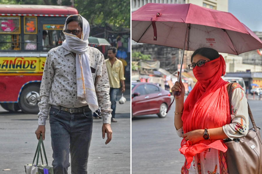
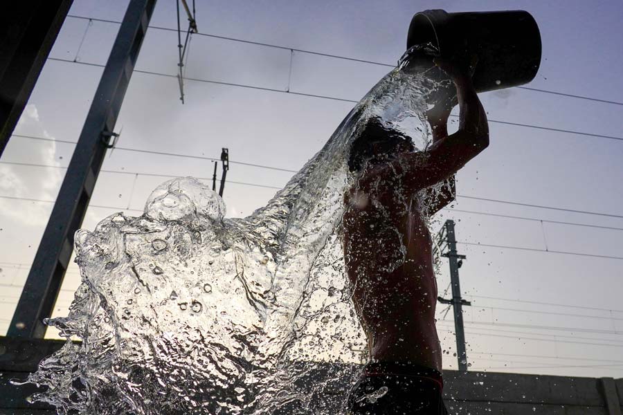
The day temperature in Kolkata stopped just short of 40 degrees on Thursday.
A Met bulletin issued on Thursday iterated that “heatwave conditions” were in store for Kolkata and most districts of south Bengal between Friday and Monday (April 19-22). “Severe heatwave conditions” are likely in the other districts of south Bengal in the same period.
Summer has just started and this is already the second such heatwave to have struck south Bengal. The Telegraph takes a deeper look.
April sizzles
The world is now warming faster than at any point in recorded history. Warmer temperatures over time are changing weather patterns and disrupting the usual balance of nature.
This newspaper recently reported on a study that analysed daily temperatures recorded in Bengal between 1969 and 2020 to show that the minimum temperature in most of the state, Kolkata included, has increased in the past 50 years.
“The rise in the number of extreme weather events and increasing variability in the weather are two dominant effects of climate change,” said H.R. Biswas, head of the weather section at the Regional Meteorological Centre, Kolkata.
A lookback at April in the past decade reveals a similar trend.
Based on the Met archives, April and May are the hottest months in Kolkata. The “mean daily maximum temperature” is 35.4 degrees Celsius in April and 35.5 degrees in May.
In 2022, there was not a drop of rain in Kolkata for 60-odd days between February-end and April-end, the longest dry phase in the city in over four decades. The Met office declared “heat-wave conditions” in districts neighbouring Kolkata.
Last year, the city was officially under a heatwave. The scorching conditions in April were something that the city had not seen since 2016.
On seven days in April 2016, the Celsius had touched the 40-degree mark in Kolkata.
“While unusually hot days are extreme weather events, the variability is established in the recurrence of such days — a long gap since 2016 and then happening almost every year,” said Biswas.
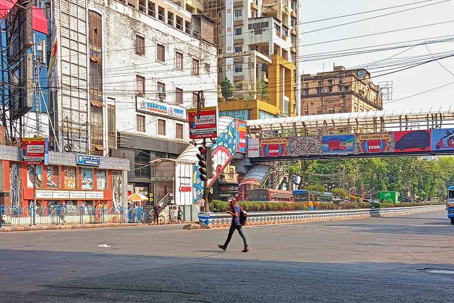
Heat islands
A researcher said there is a “very clear link” between climate change and frequent heatwaves.
“Besides long-term trends across the country, we have been witnessing local impacts in the form of more heat conditions and more frequent breaching of the temperature thresholds in Kolkata and neighbouring areas,” said Anumita Roychowdhury, executive director for research and advocacy at the Centre for Science and Environment (CSE) in New Delhi.
“What further aggravates the overall ambient temperature trend in an urban landscape is the heat-island effect,” she said.
An urban heat island is a metropolitan or town area that is significantly warmer than its surrounding rural areas because of concrete density and dwindling greenery and water bodies, besides other factors.
The elevated urban temperatures result from the heat trapped by the excessive occurrence of concrete surfaces as well as the waste heat generated through machines. The extra heat should dissipate after sunset, but pollution and the continuing generation of waste heat prevent cities from cooling.
No respite
The satellite imagery of weather systems and wind flow patterns from across the subcontinent do not offer a speck of hope for south Bengal, Met officials said.
An anticyclone was over the southeast Bay on Thursday morning. The southwesterly wind flow on the northeast Bay is ensuring that the bulk of the moist winds is headed towards the Northeast.
A cyclonic circulation over Bangladesh is only helping in the convergence of the moist winds over the northeastern parts of India and Bangladesh.
“Fairly widespread light to moderate rainfall/snowfall with isolated thunderstorm and lightning and gusty winds are likely in Arunachal Pradesh, Assam, Meghalaya, Nagaland, Manipur, Mizoram and Tripura till April 22,” said a release from the India Meteorological Department.
The same report said: “A trough/wind discontinuity runs from Cape Comorin area (in Tamil Nadu) to south Telangana in lower tropospheric levels.”
Under its influence, several areas of peninsular and coastal south India are likely to get drenched over the next few days. While Kolkata felt like a cauldron even around 7.45pm on Thursday, rain-bearing thunderclouds were gathering over Karnataka, said a Met official tracking the satellite images.
On the northwestern frontier, another Western Disturbance was brewing. As the storm moves west to east, it is likely to trigger rain across swathes of northern and northeastern India.
“But in south Bengal, there is no forecast of uniform and widespread showers till at least Monday,” the Met official said.