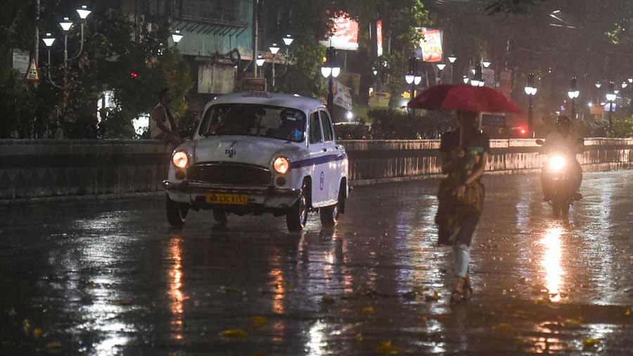
A spell of thundershowers came calling on Tuesday morning, the third in four days after a record dry spell.
The intensity was more in central and northern parts of the city and on the northern fringes. Those who gathered on Red Road for the Id namaz got drenched in the showers.
But the thunderstorm activities are likely to subside after Wednesday, said a Met official.
A low-pressure belt is set to take shape over the Andaman Sea, the official said. The system is likely to grow stronger and attract moisture-laden winds from the Bay.
“Moisture-laden easterly winds from the Bay, now moving towards land, will then be diverted towards the Andaman Sea. Reduced moisture incursion would mean a reduction in thunderstorm activities,” said G.K. Das, director, IMD, Kolkata.
“It is still too early to predict if the system will intensify into a cyclone. But even if it transforms into a well-marked low pressure area, the system will draw moisture from all corners,” said Das.
The easterly winds from the Bay are now moving towards Jharkhand, where they are pairing up with sufficient heating to form rain-bearing thunderclouds.
Kolkata was under a strong squall line — a mass made up of multiple big clouds moving in the same direction — on Sunday night. The squall saw a maximum wind speed of 69kmph. The rain started after 10.30pm.
The maximum wind speed on Tuesday morning was around 50kpmh. But the spell did not qualify as a squall because the gust lasted less than a minute, said a Met official.
In Kolkata, thunderstorms in summer usually take place in the late afternoon or evening. But in the past couple of days, the clouds moved slower than usual and took more time to reach Kolkata from Jharkhand, said a Met official.
On Tuesday, the squall line was over districts like Nadia, Murshidabad and Birbhum, which got more rain and stronger winds than Kolkata. The squall was over 200km-long and around 30km-wide, said Das.
On Tuesday, a trough of low pressure extended from Rajasthan to Nagaland via Bihar and Bengal.
Another round of thundershowers is likely in Kolkata over the next 48 hours. After Wednesday, the intensity and frequency of the thunderstorms are likely to go down.
“For the past few days, almost all districts have been getting thunderstorms. But from May 5, even if thunderstorms happen, they will be scattered, not uniform,” said Das.