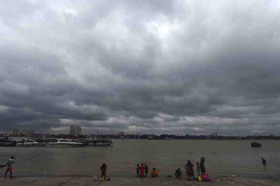
The Celsius is soaring in the run-up to the likely formation of a cyclone on the Bay of Bengal.
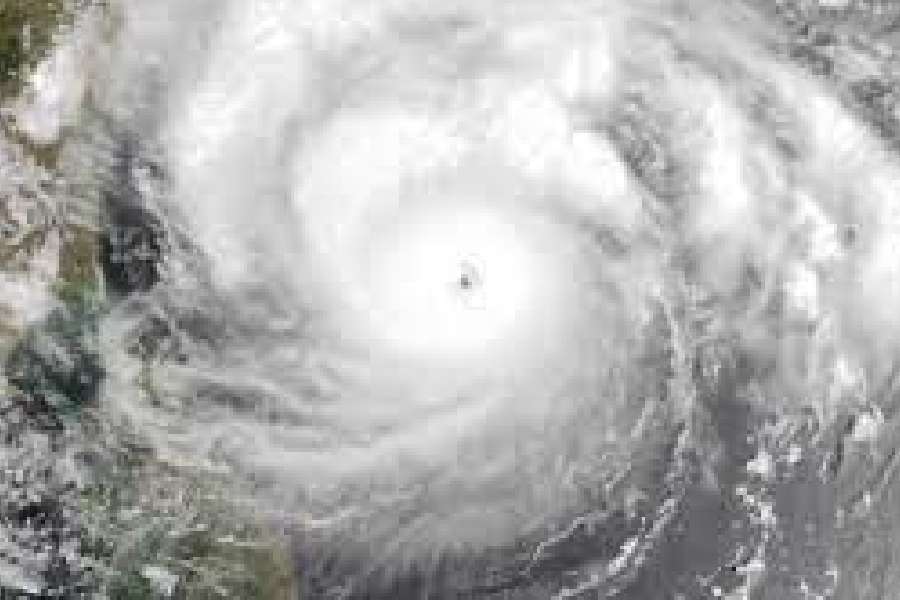
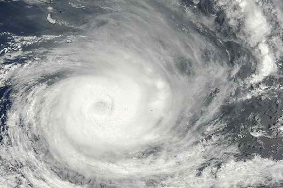
The cyclonic circulation that is likely to intensify into a cyclone — to be called Mocha, a name given by Yemen — was on the southeast Bay and adjoining South Andaman Sea on Sunday, said a Met bulletin.
But though far from Kolkata, the system is having a scorching impact on the city.
In Kolkata and the districts, the weather is likely to be scorching till at least the middle of this week, said Met officials.
The Telegraph finds out why
How hot was it on Sunday?
The maximum temperature recorded by the Met office in Alipore was 38.4 degrees, three notches above normal. Salt Lake was hotter at 39.3 degrees. Dum Dum recorded a maximum temperature of 39 degrees.
The districts saw the Celsius breach the 40-degree mark, for the first time since the prolonged heatwave in April. Bankura was the hottest place in Bengal, recording a maximum temperature of 40.5 degrees.
Why is it so hot?
Usually, Kolkata summers are sweaty because of moisture flow from the Bay of Bengal. The Bay turns into a relatively high-pressure area. If there is a weather system on land, the atmospheric pressure is lower than that on the sea. Since winds travel from a high-pressure area towards a low-pressure one, moisture-laden southerly winds from the Bay travel towards land.
“But a low-pressure area on the sea reverses the course of the winds, which then travel from land towards the sea. The system (on the southeast Bay of Bengal) that is tipped to turn into a cyclone has dragged the atmospheric pressure down on the sea. As a result, winds are travelling towards the system via Bengal. The hot northwesterly and westerly winds are leading to a rise in the mercury,” said G.K. Das, director, India Meteorological Department, Calcutta.
How are the coming days going to be?
Hot and dry, according to the forecast. The Met office did not rule out the possibility of the mercury touching the 40-degree mark in Kolkata. The humidity is also likely to be on the lower side, he said. “Rain is unlikely at least till the middle of the week,” said Das.
Is another heatwave coming?
The Met office usually declares a heatwave when the maximum temperature is around 40 degrees and at least five notches above normal. The average daily maximum temperature in Kolkata for May is around 36 degrees. That means for a formal declaration of a heatwave, the Celsius has to touch 41.
But in reality, there is hardly any difference between 39.5 degrees and 41 degrees. Even without an official announcement of a heatwave, the weather is likely to be scorching.
Where was the system on Sunday?
On the southeast Bay of Bengal.
“A cyclonic circulation that took shape yesterday was over southeast Bay of Bengal and adjoining South Andaman Sea on Sunday,” said an IMD bulletin.
The system is likely to intensify into a low-pressure area on Monday and a depression on Tuesday. “Thereafter, it is likely to intensify into a cyclonic storm while moving nearly northwards towards central Bay of Bengal and adjoining North Andaman Sea,” the bulletin said. Most forecasting models have suggested a landfall along the Bangladesh-Myanmar coast. But IMD officials have been saying the possible path and destination will be known only after the low-pressure area takes shape.