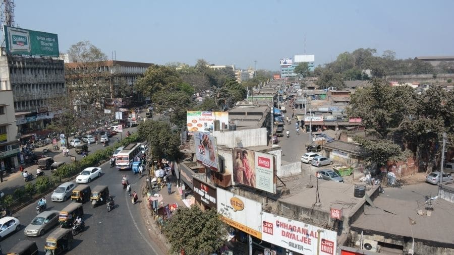
Jamshedpur civic authorities have launched a project to map the steel city with the help of drones, an initiative they hope will help in urban planning in future.
Jamshedpur Notified Area Committee (JNAC), which looks after the upkeep of steel city alongwith Tata Steel Utilities and Infrastructure Services Limited (formerly Jusco), is pursuing the project.
Drone Mapping Control (DMC) System, explained officials, is the process of surveying an area of land with an Unmanned Aerial Vehicle (UAV).
An operator flies the drone over an area of land, taking hundreds of pictures as it moves. Then, with the help of drone mapping software, it helps in creating a model of the site with larger and more accurate composite images.
Senior JNAC official Sandeep Kumar, who is overseeing the project, explained the many benefits of such an initiative.
"It will help in planning the city for the future. Drone mapping will ensure proper and systematic development of various infrastructure facilities, apart from controlling the menace of encroachment and illegal buildings . It will also help in proper planning of other civic amenities, traffic and transportation systems," he said.
Kumar said a highly detailed aerial map allows for insight into the property and civic details without requiring a client to be there in person. "Such an initiative is a first for the state of Jharkhand, " he added.
Deputy commissioner of East Singhbhum Suraj Kumar is keen on the project and has been giving necessary inputs for the success of the new initiative.