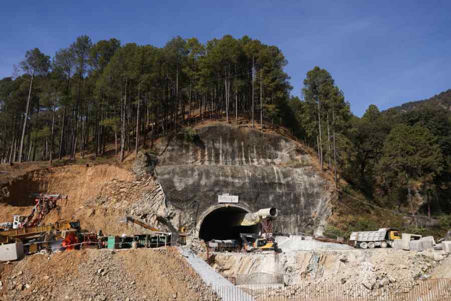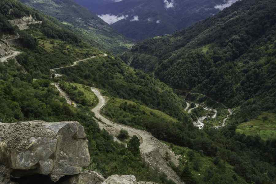
Over 85,000km of roadways and 360,000 buildings in the Himalayan region are potentially exposed to landslides or avalanches, an exercise to quantify the hazard along the entire length of the mountain chain has suggested.
The exercise by scientists from India, Switzerland and the US has also indicated that 1,770 Himalayan glacial lakes are exposed to possible landslides or avalanches that could trigger glacial lake outburst floods (GLOFs). More glacial lakes will face a similar risk in the region in the coming years.
A GLOF triggered by a cloudburst over the South Lhonak Lake in Sikkim had on October 4 this year caused a surge in the water levels of the Teesta, which swept through several towns downstream, leaving dozens of people dead.
“Until now, we’ve had only limited and largely localised assessments of exposure to landslides or avalanches,” said Ashim Sattar, glaciologist and assistant professor at the Indian Institute of Technology, Bhubaneswar. “We’ve tried to assess the hazard along the entire Himalayas.”
Sattar and his colleagues have generated quantitative assessments of the possible exposure of buildings, roadways and waterways to landslides and avalanches along a 2,400km mountain chain -- the Hindu Kush, Karakoram, the Western, Central and Eastern Himalayas, and the Hengduan Shan.
Their analysis found that the Central Himalayas (Uttarakhand and Nepal) accounted for 41 per cent of the 1,339 fatal landslides documented between 2009 and 2016 --- the largest proportion -- followed by the Western Himalayas (Himachal Pradesh and Ladakh, 27 per cent) and the Eastern Himalayas (19 per cent.)
The scientists combined land elevation datasets with geographic information to carry out an exposure analysis for over 3.6 million buildings, 500,000km of roadway networks, and 200,000km of waterways in relation to low-volume, moderate-volume and high-volume landslides or avalanches.
The study suggested that about 3 per cent (108,000) of the 3.6 million buildings are vulnerable to low-volume landslides or avalanches but this increases to 10 per cent (360,000) for high-volume landslides or avalanches.
About eight per cent (40,000km) of Himalayan roadways are exposed to low-volume landslides or avalanches, while high-volume events are expected to impact 17 per cent (85,000km).
The critical sections of roadways exposed to these hazards are concentrated in Uttarakhand, Himachal Pradesh, Ladakh, Nepal and China’s Sichuan province, the scientists said. The study’s findings were published in the peer-reviewed research journal Earth’s Future.
“We’re hoping our study provides the baseline data for detailed studies to protect critical sites from landslides or avalanches,” said Saket Dubey, assistant professor at IIT Bhubaneshwar and the study’s lead author.
Among the 2,530 existing glacial lakes, 70 per cent (1,771) are susceptible to low-volume landslides or avalanches. “Many of the lakes in the Eastern Himalayas are already fully formed, but the lakes in the Western Himalayas are still growing,” Sattar said.
“In the coming years, as global temperatures rise and glaciers continue to melt, the number of lakes in the Western Himalayas at risk of exposure to landslides and avalanches will increase.”
The altitudes at which many of these future lakes form will be higher than those of the existing lakes. This will mean a greater risk of exposure to landslides or avalanches because the newly formed lakes will be closer to steep mountain slopes.