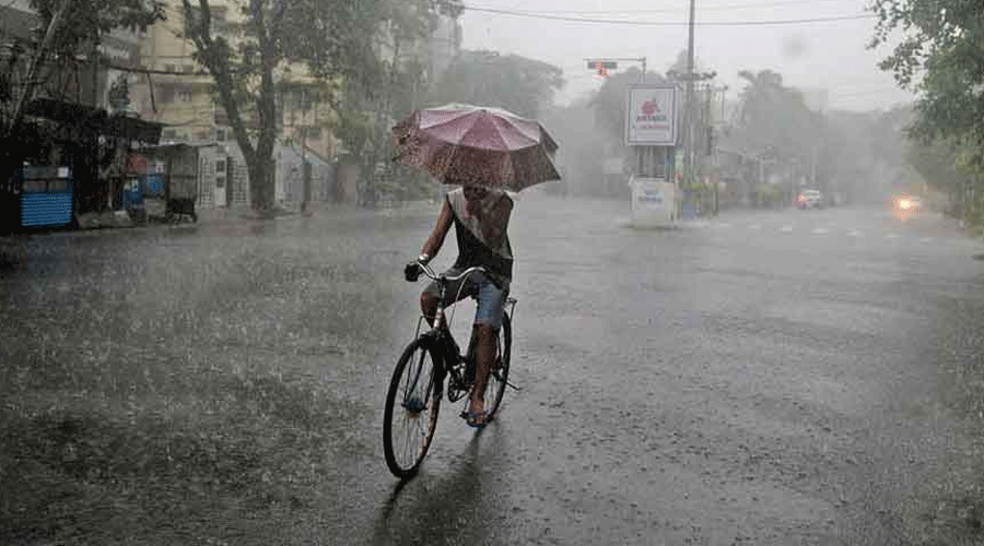
India is likely to receive normal monsoon rainfall this year, the national weather agency said on Thursday, releasing its early long range forecast for the monsoon rainfall crucial for the country’s crops, water resources and economy.
The India Meteorological Department (IMD) said the monsoon rainfall from June through September is quantitatively likely to be 99 per cent of the long-period average of 87cm, placing it within the normal range of 96 to 104 per cent.
The early forecast — to be updated in late-May — is based on an analysis of global weather patterns, including the Pacific and the Indian ocean temperatures, that influence the monsoon’s behaviour.
The June-September monsoon rain account for 75 per cent of the country’s annual rainfall and are critical for kharif season crops — rice, maize, pulses, oilseeds, cotton, and sugarcane, among others — sown during these months.
About 51 per cent of the country’s total sown area depends on rainfall. And nearly 60 per cent of the remaining 49 per cent relying on irrigation depends on groundwater reserves that get recharged by the rainfall.
The IMD said normal to above normal rainfall is “most likely” in parts of the northern peninsula, central India, and northwestern region, the country’s grainbelt regions that also grow sugarcane and soybean.
But below normal rainfall is likely over many parts of northeast India, some parts of northwest India, and parts of the southern peninsula, it said. The updated forecast in late-May will include quantitative forecasts for each of the country’s four geographic regions.
The long-range monsoon forecast hinges on two key parameters — one called La Nina, or a dip in sea surface temperatures in the Pacific ocean, the other called Indian Ocean Dipole, relating to temperatures in the eastern and the western Indian ocean.
Scientists said the two appear to be tugging at the monsoon in opposing directions.
“La Nina is currently favourable for the monsoon, but the Indian Ocean Dipole may become unfavourable by the start of the monsoon,” said Mrutyunjay Mohapatra, the IMD’s director general. “But overall, we expect a normal monsoon.”
The IMD said La Nina conditions are currently prevailing over the equatorial Pacific region and likely to persist up to the middle of the monsoon season. But the Indian ocean temperatures are likely to shift towards negative Indian Ocean Dipole by the start of the monsoon.
Average rainfall
India’s long-period average monsoon rainfall has dipped slightly from 88cm to 87cm in line with a natural multi-decadal cycle of dry and wet epochs, but is likely to rise from 2031 onward.
The IMD said the all-India normal rainfall based on 1971-2020 records is 868.6mm or nearly 87cm, compared with 880.6mm based on the 1961-2010 rain records.
The annual rainfall has also dipped from 1176.9mm during 1961-2010 to 1160.1mm during 1971-2020.
“We are currently in the dry epoch that started in 1971-80, the current decade 2021-30 will have close to normal rainfall, and we’re expected to enter the wet epoch from the next decade 2031-40,” Mohapatra said.