A week into the diplomatic standoff between India and Nepal over a road in Lipu Lekh, the Indian Army chief, Gen. Manoj Naravane, on Friday said Kathmandu may have protested at “someone else’s behest”.
No country was named but speculation swirled around China.
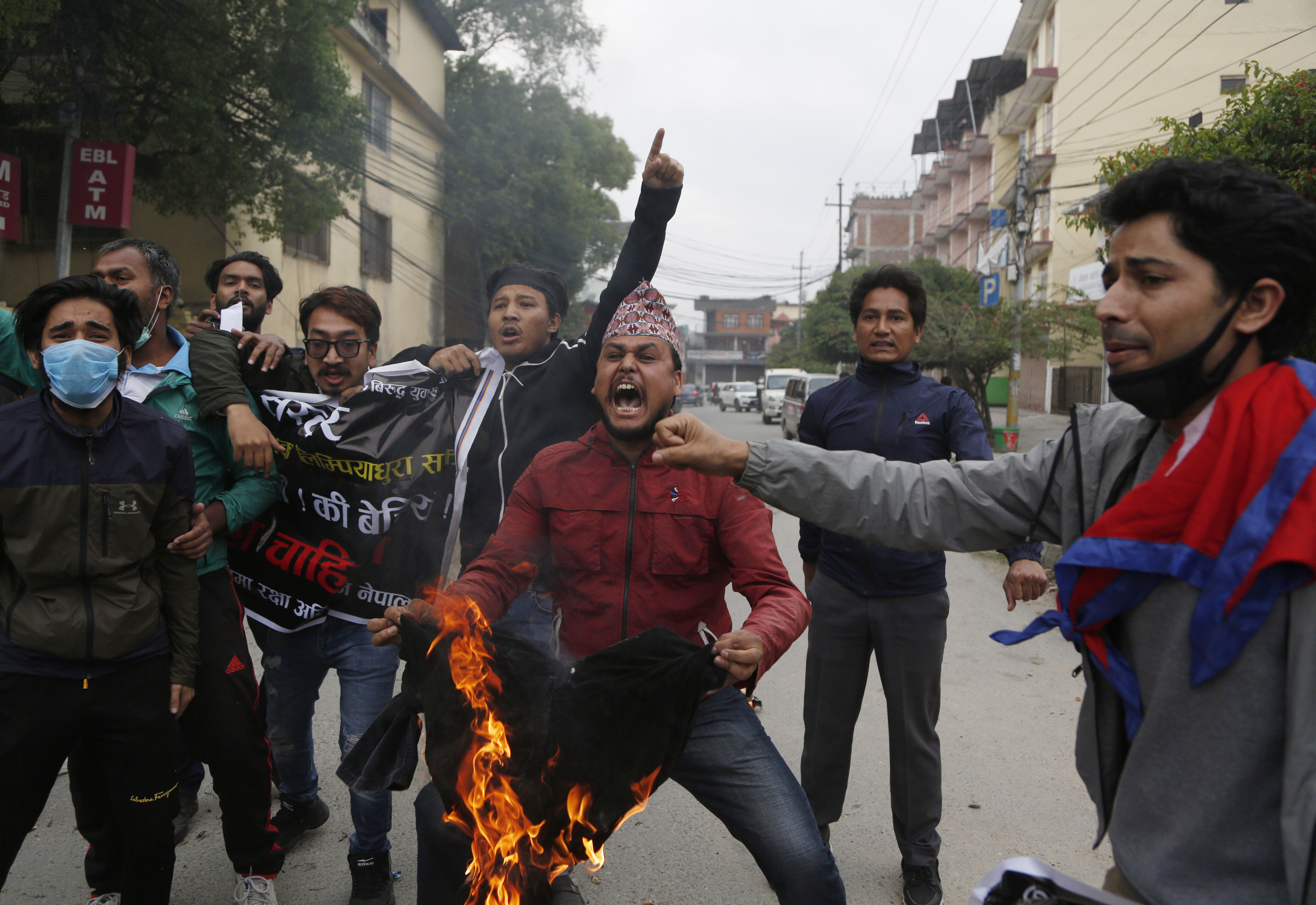
Nepal added a new strain to bilateral ties by announcing that new maps would be printed to include three disputed areas.
Under pressure from its nationalist constituency, the Oli government announced through President Bidhya Devi Bhandari that a new official map would be brought out to include areas “occupied by India” —Limpiyadhura, Lipu Lekh and Kalapani.
All three areas belong to Nepal, she said while presenting the policies and programmes of the Oli government for the new financial year in Parliament.
This is a clear sign of escalation from Kathmandu after repeatedly asking India to schedule an early meeting of the boundary talks mechanism. Prior to the Lipu Lekh issue being prised open, Nepal had suggested two dates for the foreign secretary-level mechanism but got no response from India.
After Nepal reiterated this demand in response to the inauguration of the road in Lipu Lekh last Friday, India said such an engagement would now be possible only after the two countries had successfully dealt with the Covid-19 challenge, hoping to pre-empt any further move from Kathmandu on this.
This did not stop Kathmandu from again raising the need for the mechanism to be activated at the earliest when the Indian ambassador to Nepal was summoned to the foreign office on Monday. And on Friday, Kathmandu seemed to borrow a leaf out of India’s playbook of showing disputed territory as its own.
The army chief, replying to a question on Nepal’s response to the road in Lipu Lekh -- purportedly to facilitate the Kailash Mansarovar pilgrimage -- said: “The Nepalese ambassador has mentioned that the area east of the Kali river belongs to them. There is no dispute in that whatsoever. The road which we have made is in fact to the west of the river. So I don’t know what they are actually agitating about.
“There are little issues as we go ahead as to where exactly the tri-junction should be. There have never been any problems on this score in the past. There is reason to believe that they might have raised the issues at the behest of someone else and that is very much a possibility.”
While China’s influence in Nepal is no secret, it’s also true that Beijing is party to expanding trade with India at Lipu Lekh in line with an agreement signed in 2015, for which talks were under way since 2013.
Though diplomatic sources stressed that the disputed area in Pithoragarh in Uttarakhand had been under the jurisdiction of the deputy commissioner of Almora throughout the 19th century, the establishment of the boundary mechanism is an acknowledgement by both sides that there are unsettled issues.
The boundary issues have heated up over the past six months after India issued a new map in November to factor in the bifurcation of the erstwhile state of Jammu and Kashmir, in which Kalapani was shown as Indian territory.
Nepal contends that all the territory east of the Mahakali river, including Limpiyadhura, Kalapani and Lipu Lekh, are its territory under the Sugauli Treaty of 1816.